


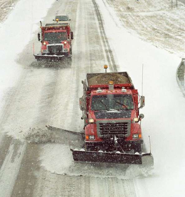
From KDOT
The Kansas Department of Transportation has launched a new Plow Locations Tool that displays active snowplow locations on state highways across Kansas.
The new tool is hosted on KanDrive.gov, the agency’s 24/7 resource for highway and weather conditions. To see where plows are working, users should:
- Go to KanDrive.gov or download the KanDrive app.
- At the top left corner, go to the What are you Looking for?
- Click the orange Plow Locations Tool.
The Plow Locations Tool displays active plow locations and indicates both the direction of travel and the path taken over the last two hours. The map data refreshes every 60 seconds.
“We're committed to providing Kansans with timely and reliable information during winter weather events,” said Secretary Calvin Reed. “This new tool helps travelers see where crews are actively working while also providing a better understanding of the effort required to keep highways open and safe during a storm.”
In addition to seeing active plow locations, KDOT will have 12 trucks across the state equipped with cameras showing dashcam images on KanDrive. On the map, each plow appears as orange arrow icons pointing in its direction of travel. The 12 plows with cameras appear as blue truck icons, and clicking one shows its most recent dashcam images.
“Behind every plow shown on the map is a KDOT employee working to improve travel conditions,” Reed said. “This tool gives the public a real-time view of that work and another resource to help them make informed travel decisions.”
KDOT maintains about 9,500 miles of Kansas highways totaling more than 25,000 total lane and ramp miles. During storms, crews prioritize high-volume highways while working continuously to clear lower-volume routes. The agency has about 590 dump trucks statewide and eight tow plows that clear a path up to 24 feet wide.