By MIKE COURSON
Great Bend Post
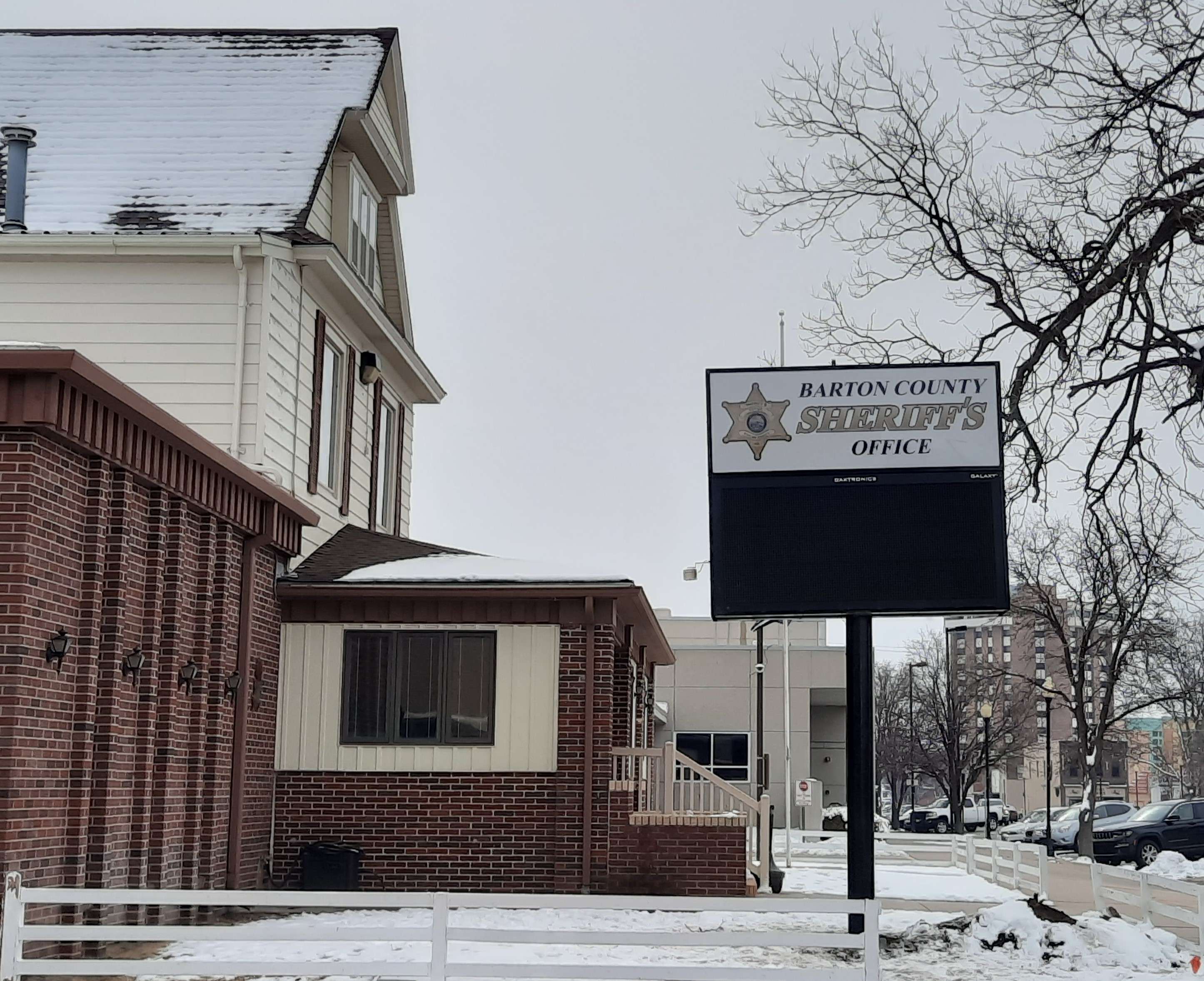
The latest forecasts from the National Weather Service in Wichita indicate up to an inch and a half of snow may fall on Barton County by Friday evening. Sheriff Brian Bellendir said his deputies worry less about accumulation in the ditches and more about what happens to road surfaces.
"I don't care if it's an inch or five inches: how quickly does it leave the roadway?" he said. "If you get snowpack on the roadway, that's when you start having problems. If you have loose snow on the roadway and it gets cleared off pretty quickly, it's not that big of a deal for us."
Ambient temperatures before and after the snow also affect road conditions. Lows will hover around the freezing mark on Friday before rebounding to the low 40s on Saturday. Bellendir said a worst-case scenario can be for fresh snow to get snow-packed on the road. It gets polished and slicker as more cars drive over it. Drivers in four-wheel vehicles may get a false sense of security.
"The problem is you can take off and get going, and you're not going to get stuck, but that doesn't help your stopping distance at all," said Bellendir. "You can build up more speed more quickly and more easily than you could with just a rear-wheel drive car, but you can't get stopped."
Barton County and north is expected to receive a trace to two inches of snowfall through Friday. The southwest corner of the state could see up to four inches. Rain and snow are again expected Sunday night into Monday.
"Yes, it's coming," Bellendir said. "Please slow down. Drive safely. Snow is better than ice. And if we do start getting snowpack on the roadway, you have to slow down. The coefficient of friction on the highway drops to about nothing and you have no stopping ability."