By MIKE COURSON
Great Bend Post
The Barton County Appraiser's Office began using aerial imagery for its work in the mid-1980s. Since then, the county has upgraded its contract for those images in 2005, 2010, and 2018. At Tuesday's Barton County Commission meeting, Cartographer Bj Wooding asked the commission to approve a new contract with Surdex Corporation for 2024.
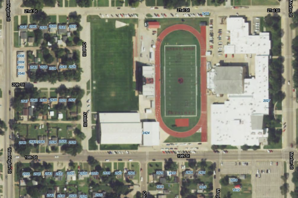
"This is called 3-inch pixel resolution," she explained. "It's about the highest we can get by airplane without other approval. The cities are Great Bend, Hoisington, Ellinwood, and Claflin, and they've agreed to share the cost."
The United States Department of Agriculture uses the technology on flyovers every two years, and Next-Gen/911 uses it every two years. The State uses 1-foot pixel resolution digital orthoimagery that works well for rural areas. Wooding said the 3-inch pixel is clear enough for city workers to spot manhole covers. After the Hoisington tornado, officials used the images to find transformers that had blown down.
"This imagery is used heavily by the appraiser's office in appraising both structures and the ag land," Wooding said. "Zoning and planning uses it when they're having to help people locate where they can put a building or not put a building."
The camera alone would cost more than $1 million to purchase, plus software and flights add additional expenses. The contract approved Tuesday was for $28,500. Barton County will pay half of that and be reimbursed for the other half. A total of 79 square miles will be photographed from approximately 2,500 feet in the air. Cities will reimburse the county based on the size of area photographed. Great Bend will pay the most at $8,658, and Claflin will pay the least at $1,443.